In the last week a delegation of disatermappers heidelberg and Fachschaft Geographie Heidelberg took the train towards Würzburg for a two days OpenStreetMap event organized by the local student association FSI Geographie Würzburg.
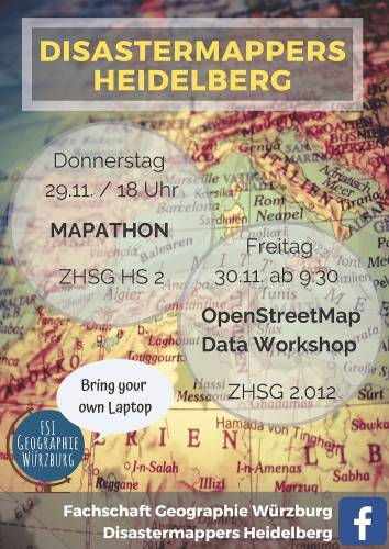
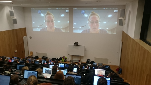
On thursday we organized a mapathon contributing to two Missing Maps projects requested by Doctors Without Borders (MSF). The first project is located in Embu County, Kenya and MSF is supporting health centres there to develop a model of care for Non Communicable Diseases such as diabetes or epilepsy. The second project dealt with the Ebola outbreak in the Democratic Republic of the Congo. During our mapathon we introduced more than 60 students into how to map streets, buildings and forests in OpenStreetMap.
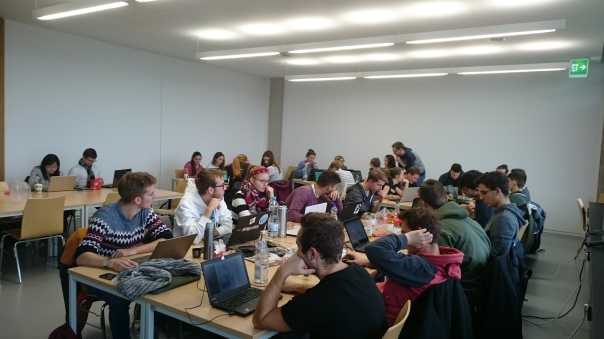
The second day was dedicated to OpenStreetMap data as well. However, this time we focused on data export and visualization rather than data creation. In a three hours workshop we presented several ways to download OpenStreetMap data and directly tested it together with the students. You can have a look at the slides in the tutorial section of this blog.
We are really thankful for the invitation by the FSI Geographie Würzburg and are looking forward to support the growth of local OSM community. It was a fantastic stay.
🙂
